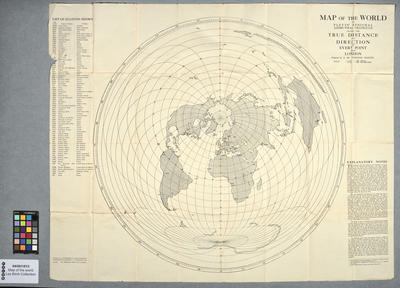
World map giving distances and directions to London for aerial alignment
Maker and role
J. Pletts, Author
See full details
Object detail
Accession number
04/001/013
Maker
Media/Materials
Physical description
1l ; 66cm
Collection
Credit line
J. Pletts. World map giving distances and directions to London for aerial alignment, 04/001/013. Walsh Memorial Library, The Museum of Transport and Technology (MOTAT).


Public comments
Be the first to comment on this object record.