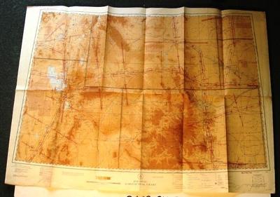
Map - Salt Lake City, U.S.A.
Object detail
Accession number
2003.379
Description
Map - paper - 7M Restricted Regional Aeronautical Chart. Compiled and printed at Washington DC - by the US Coast and Geodetic Survey under authority of the Secretary of Commerce, July 27, 1944. Region: Salt Lake City - Denver. Wyoming, Utah, Colorado and Nebraska.
Marks
DEPARTMENT OF COMMERCE / UNITED STATES OF AMERICA / REGIONAL / AERONAUTICAL CHART / COPMILED AND PRINTED AT WASHINGTON D.C. / BY THE U.S. COAST AND GEODETIC SURVEY / UNDER AUTHORITY OF THE SECRETARY OF COMMERCE / Principal Sources: U.S. Geological Survey, / Civil Aeronautics Administration and the U.S. / Coast and Geodetic Survey. / RESTRICTED / 7M Printed
Media/Materials
Credit Line
Map - Salt Lake City, U.S.A., 2003.379. The Museum of Transport and Technology (MOTAT).


Public comments
Be the first to comment on this object record.